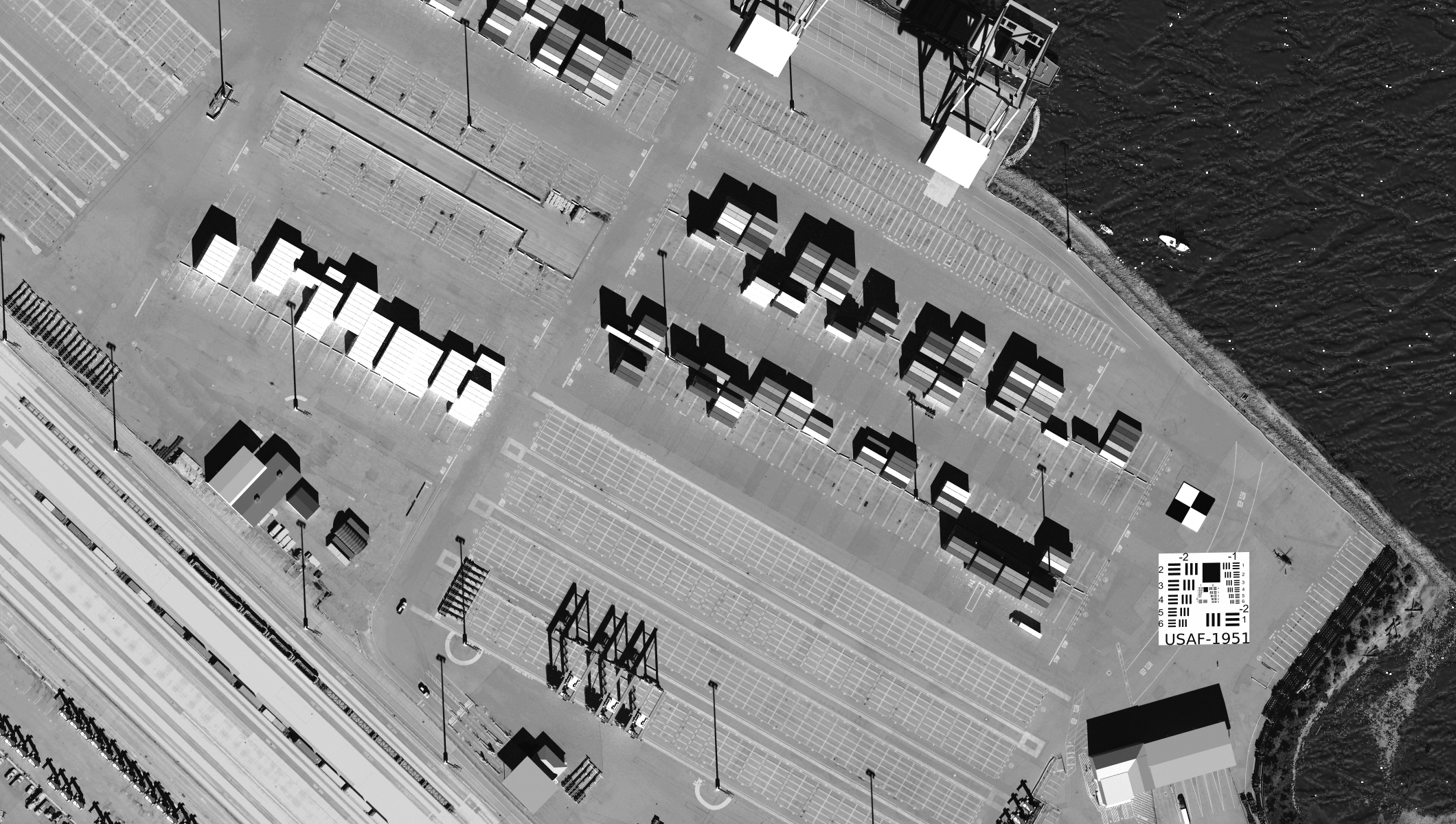
The Digital Imaging and Remote Sensing Image Generation (DIRSIG™) model is a physics-driven synthetic image generation model developed by the Digital Imaging and Remote Sensing Laboratory at Rochester Institute of Technology. The model can produce passive single-band, multi-spectral or hyper-spectral imagery from the visible through the thermal infrared region of the electromagnetic spectrum. The model also has a very mature active laser (LIDAR) capability and an evolving active RF (RADAR) capability. The model can be used to test image system designs, to create test imagery for evaluating image exploitation algorithms and for creating data for training image analysts.
How do I learn more?
-
Browse the overview presentation to learn about many of the features and capabilities of the model.
-
Read this open/free technical article from IEEE Journal of Selected Topics in Applied Earth Observations and Remote Sensing ( Volume: 10, Issue: 11, Nov. 2017 )
-
Browse the Frequently Asked Questions.
-
Browse the user documentation to learn more about specific features.
-
Browse the directory of demonstrations, which provide users with working examples of DIRSIG™ simulations.